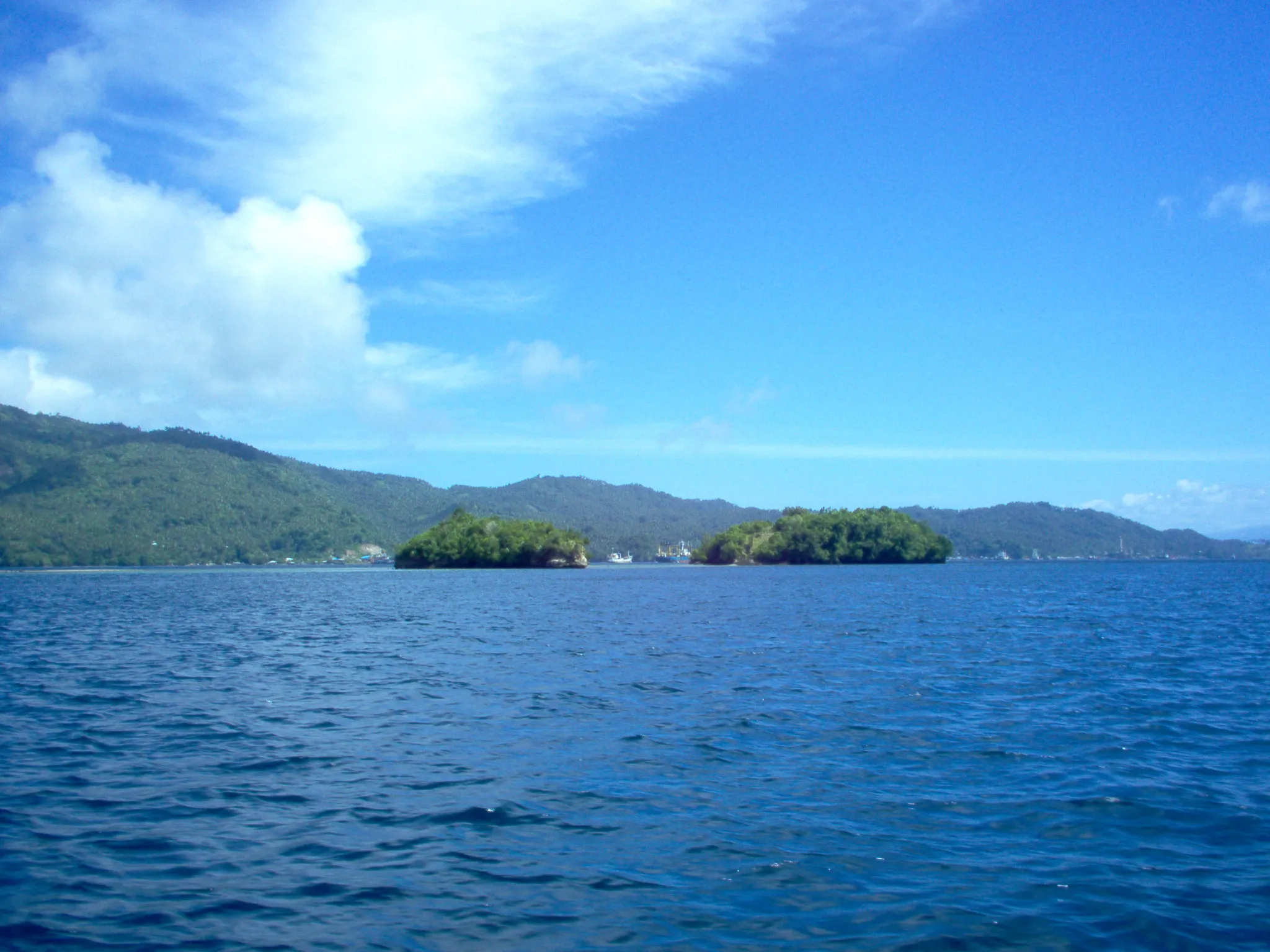
The state counted every part of it.The world has never seen it.
- 85ha
- Village area
- 3,370
- Residents (2020)
- 893
- Households
- 2,289
- Buildings mapped
- 0
- Named streets on the map
- 0
- Photos on Wikimedia Commons
The statistics agency counted it down to its contents: five wards, eighteen neighbourhood associations, thirty-five corner shops, one pharmacy, no restaurant. OpenStreetMap has traced thousands of buildings around its centre point. And yet not one street inside it carries a name on that map, and its boundary has never been drawn at all.
A place can be counted that precisely and still go completely undescribed. This page tries to close a little of that gap — and marks honestly the parts still missing.
Where you actually are
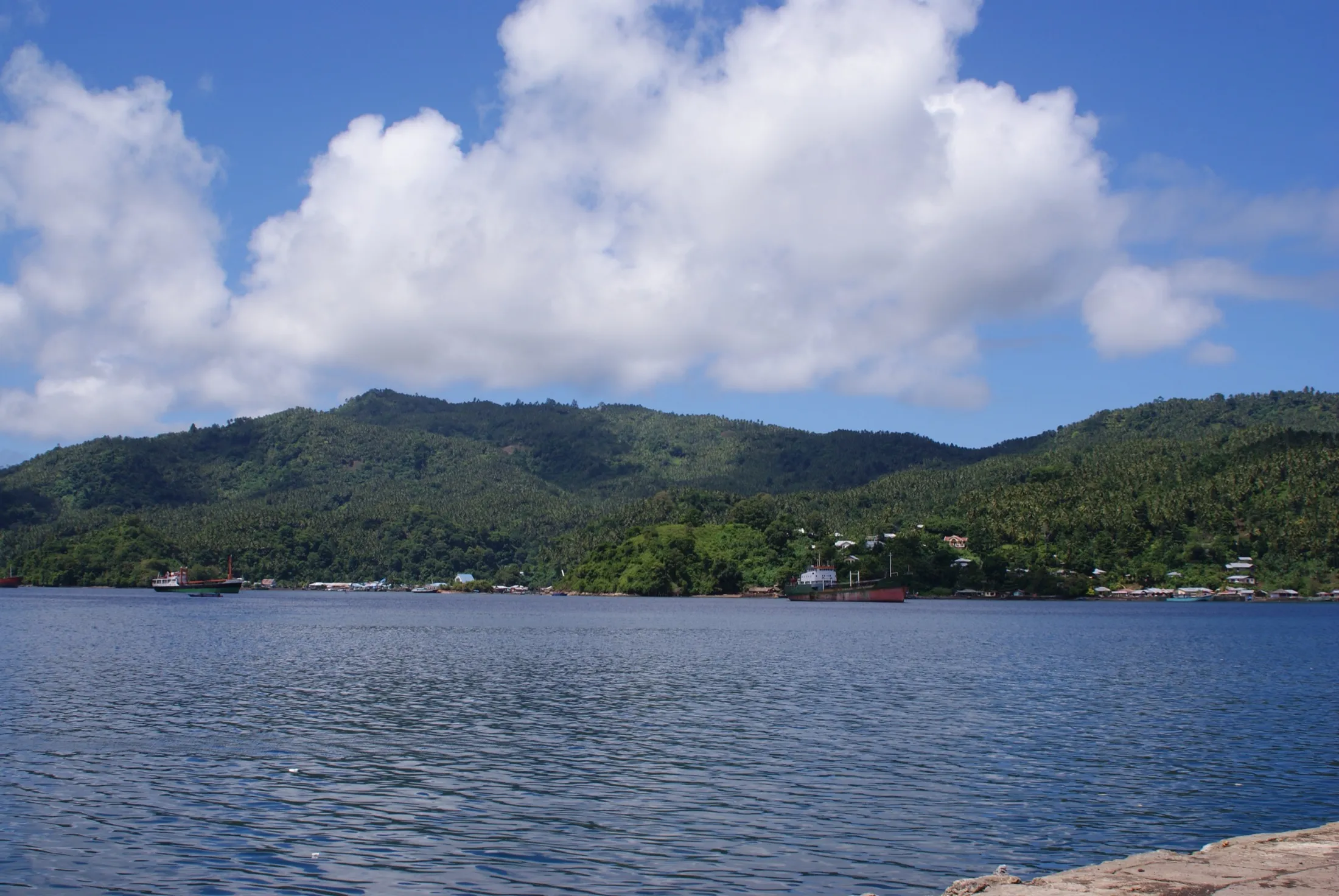
Winenet Dua faces the Lembeh Strait, though not all of it sits on the water: the village’s centre point lies about 1.1 kilometres inland from the shoreline, while its territory reaches down to the ferry jetty. The strait itself is about 16 kilometres long and only 1–2 kilometres wide — narrow enough to cross by small boat in ten minutes, deep enough to be one of the most famous dive sites on earth.
Tap or hover any point to read what it is.
- Coastline
- Main road
- Village street
- Built-up area
- Ferry crossing
- The kelurahan
What is here
Seven chapters, each standing on its own. Begin anywhere.
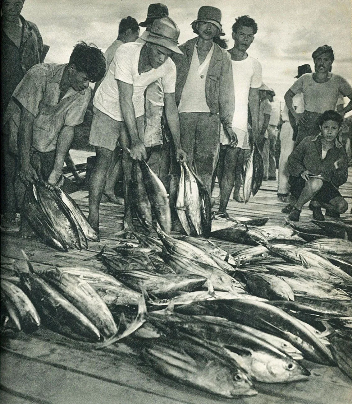 01This village, as recorded85 hectares, 3,370 people, 893 households — and one unanswered question about where its boundary ends.
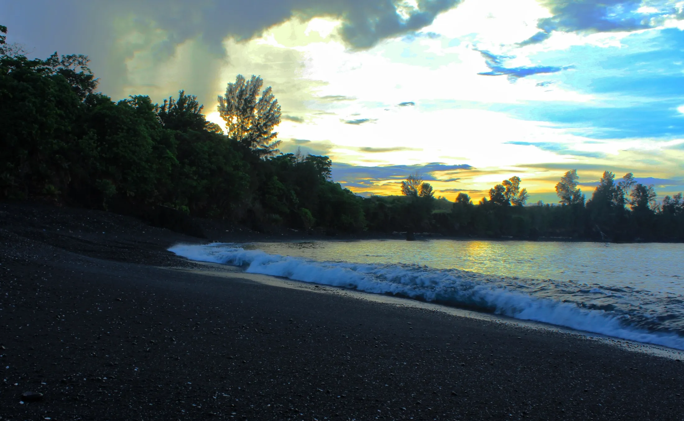
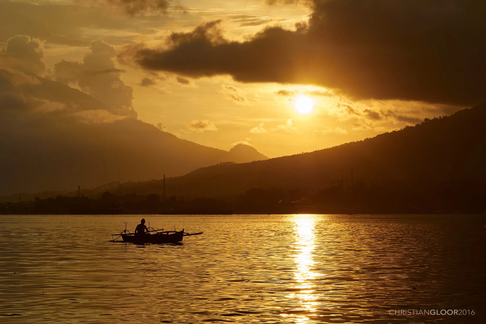 02The strait out frontThe muck diving capital of the world over black volcanic sand, and the pole-and-line boats that leave at five.
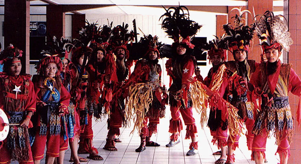 03Torang samua basudaraThe call to prayer and the church bell in the same air, a language that traps newcomers, and fish smoked for four hours.
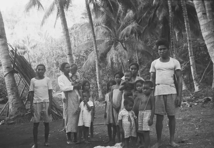 04What passed, what returnsFrom the six dotu who held this coast in 1884 to kolintang joining the UNESCO list in 2024.
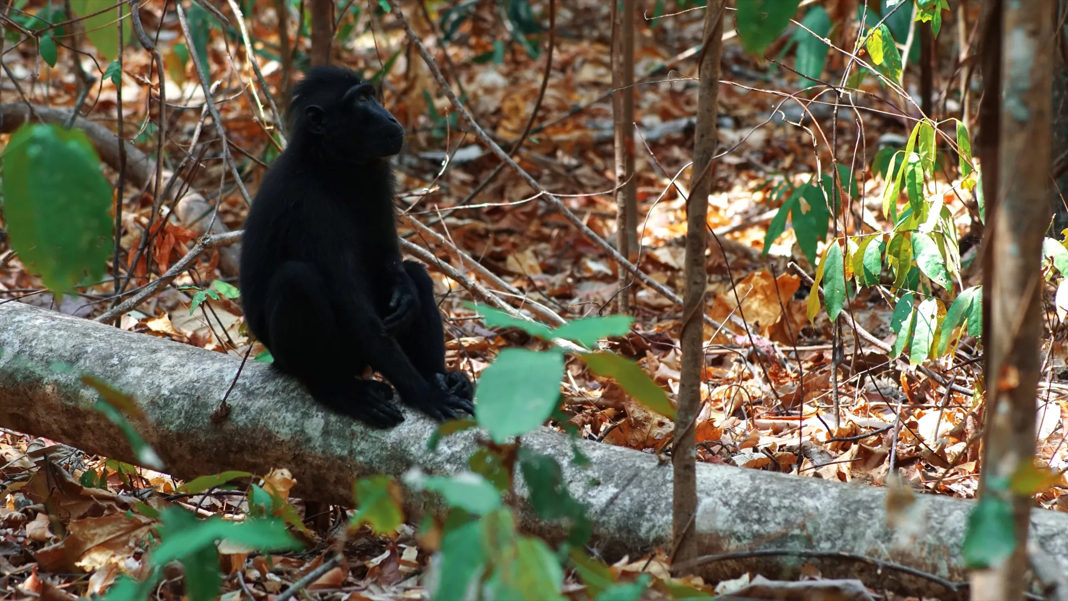 05From here, outwardA field of black lava, a critically endangered macaque, and two brother peaks directly behind the village.
 06What has not been seenThere is not one photograph of Winenet Dua on Wikimedia Commons. This gallery works outward in rings instead.
 07Coming here wellHow to get here, what respect looks like, and one thing worth knowing about the ground on this coast.